Kiplombe Community Conservancy

Conservancy Products

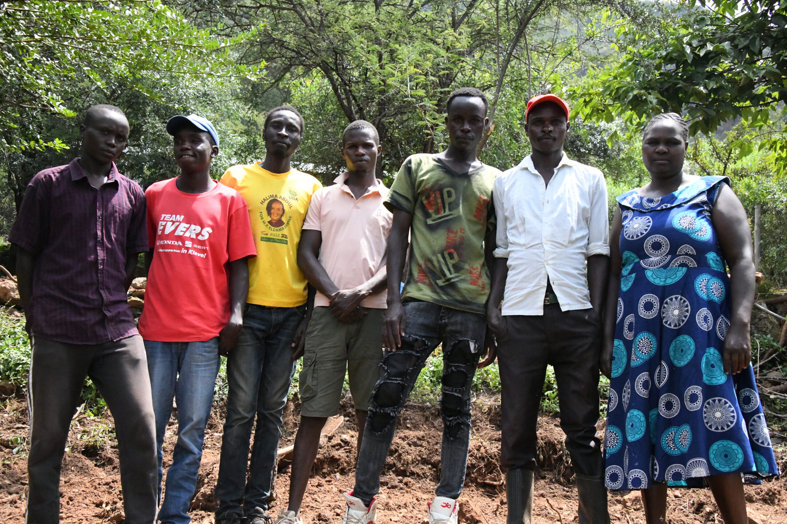
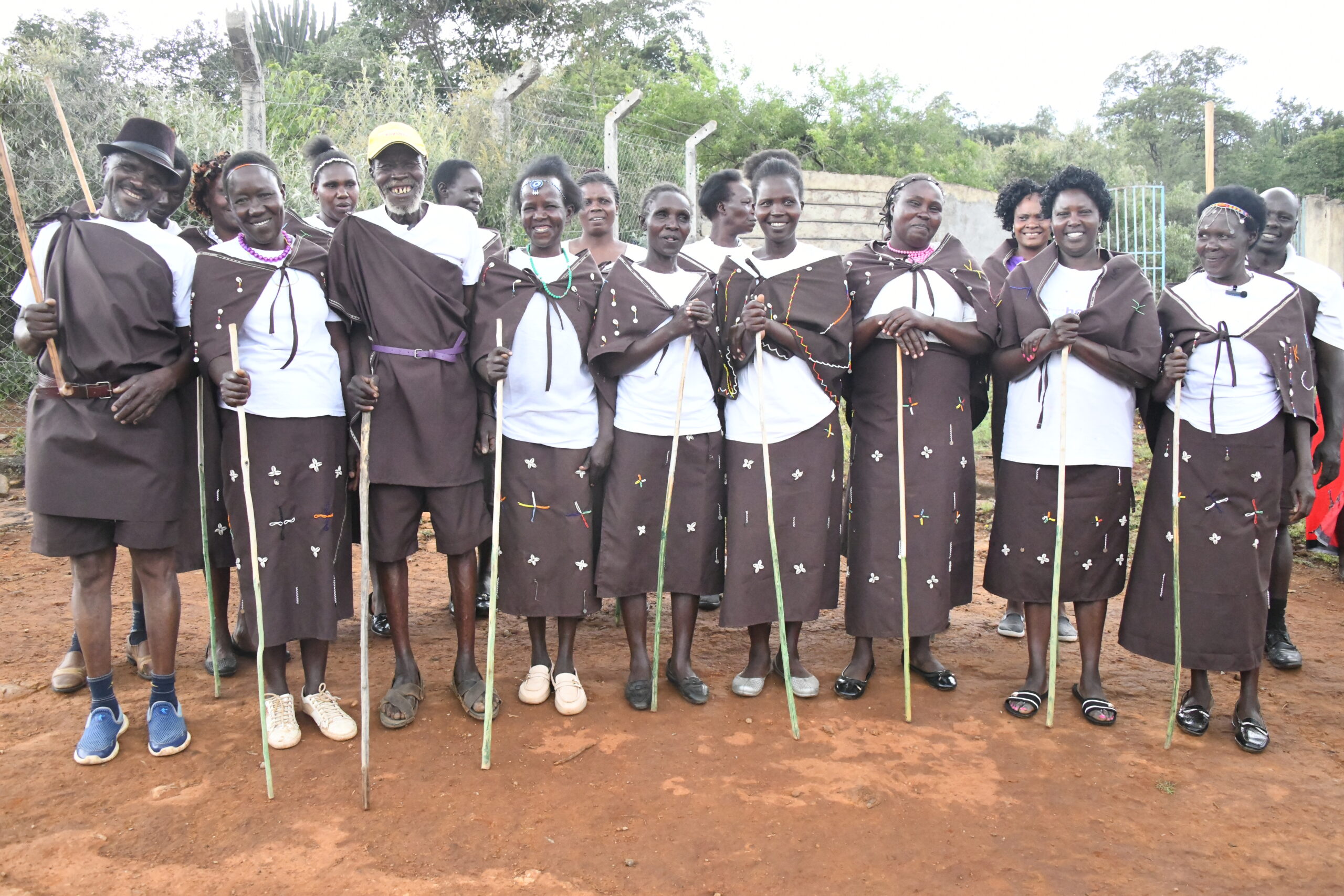
Board Members

Tree Nursery Establishment

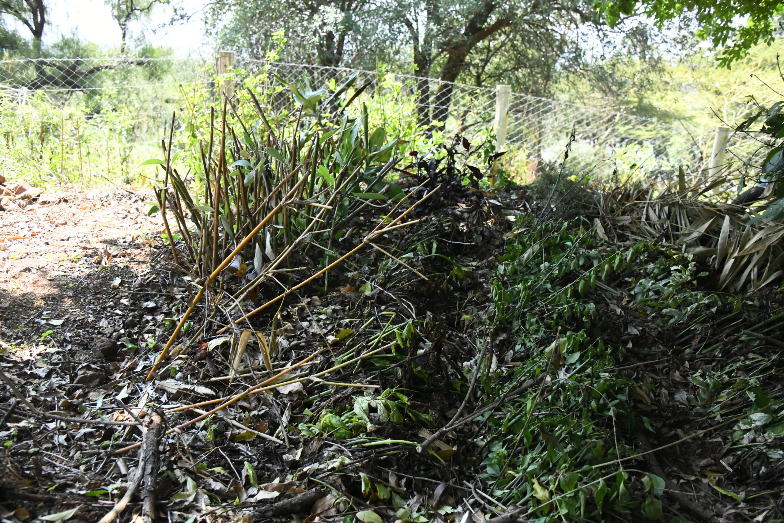
Soil and Water Conservation

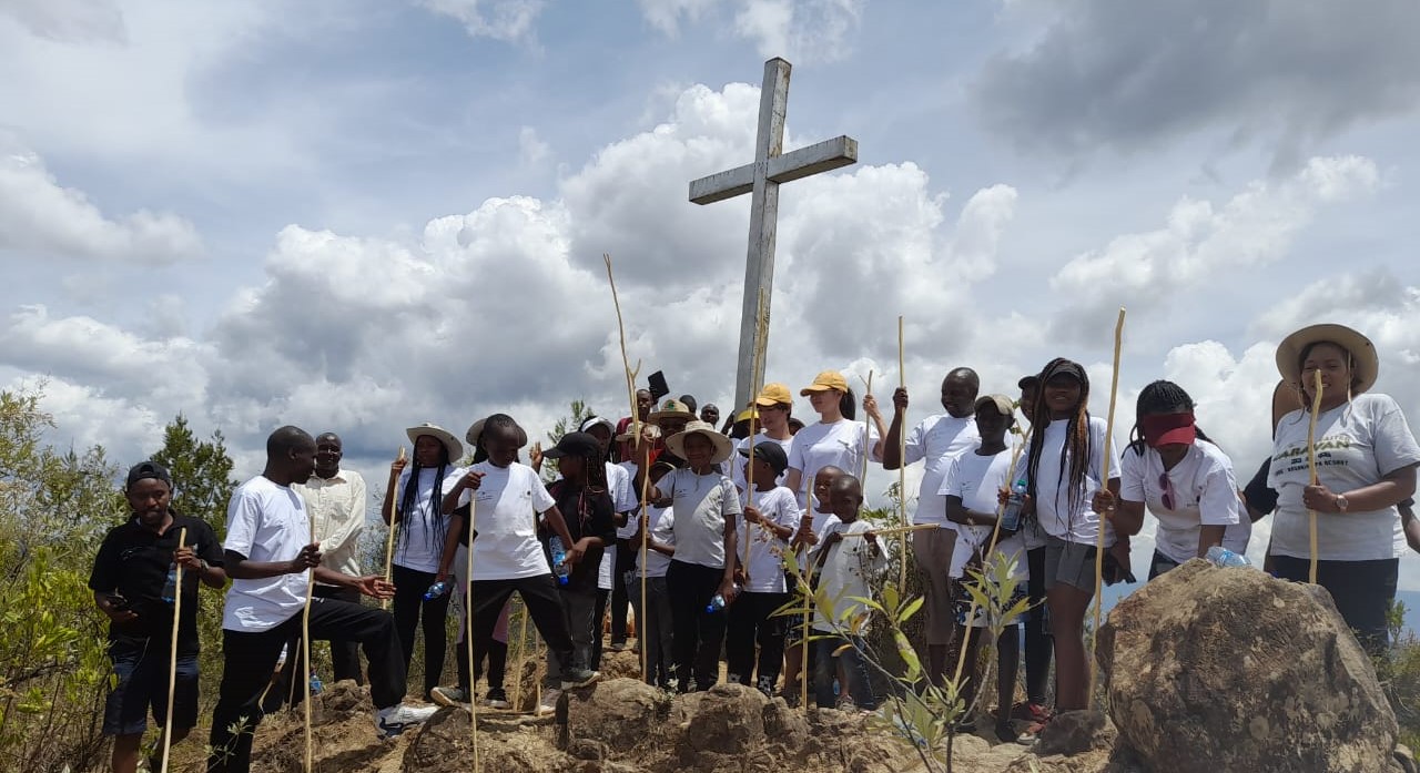
Volunteering Rangers

The Kiplombe Community Conservancy (KCC) covers an area of approximately 290 hectares at the Western rim of the East African Rift Valley, surrounded by the three villages of Orinie, Nakurtawei, and Posta, whose communities are the owners of the land.

The community elders set aside Kiplombe Mountain as a wild animal habitat, as a shrine, a hiding place during the Maumau war, and as a center for traditional communication purposes as early as 1962. Until the 1970s, the region hosted a population of black rhinos before the remaining specimens were translocated to Nakuru National Park. Kiplombe Community Conservancy is one of the 15-member conservancies of the Baringo County Conservancies Association (BCCA) and is categorized under highland landscapes.
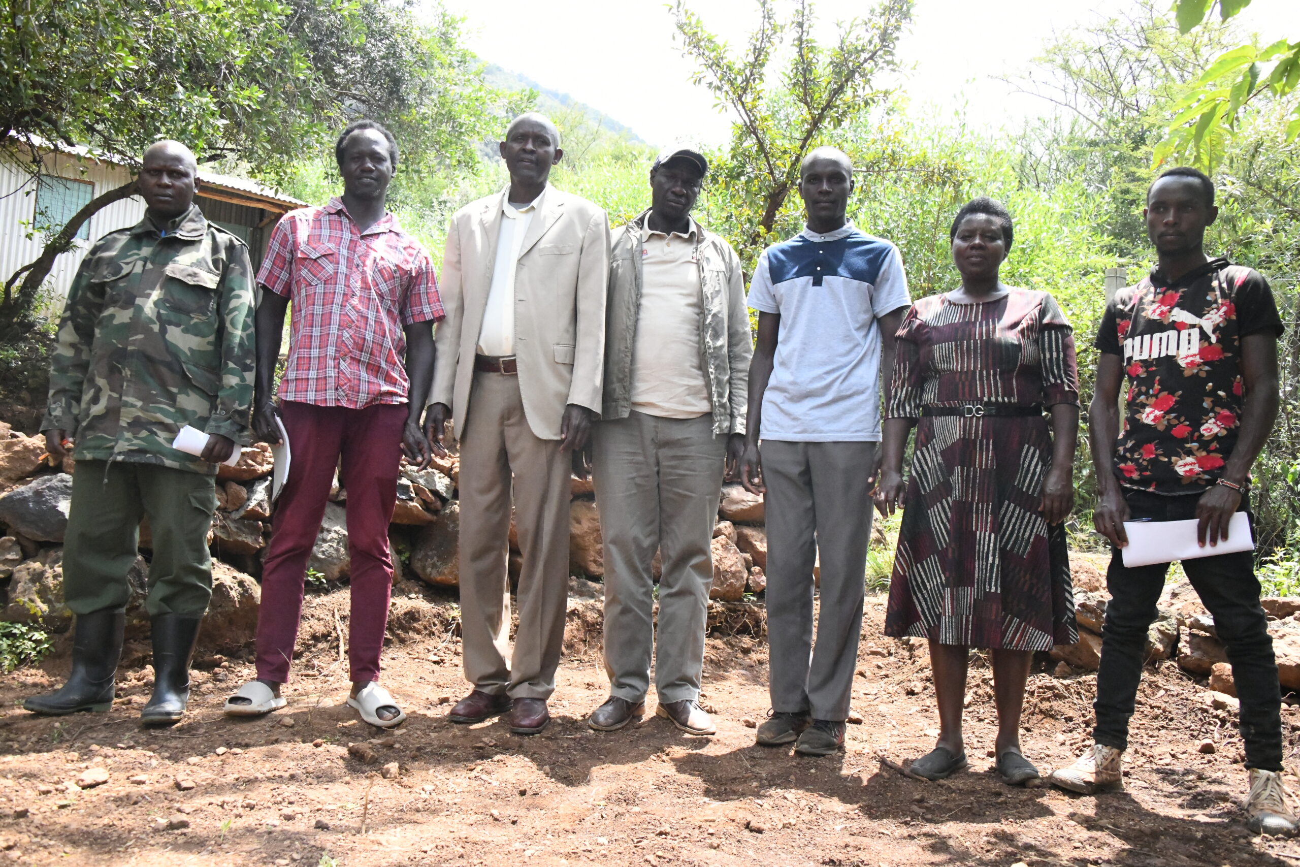
The conservancy was established in 2016 and registered as a Community-Based Organization (CBO). Its purpose is to bring together the community as the main stakeholders in the conservation arena. Kiplombe Conservancy is owned by the community members who chose to set aside portions of their land for conservation purposes. Currently, the conservancy has 105 registered members with 2700 direct beneficiaries in Kiplombe and a governance system consisting of 11 board members and 8 volunteering rangers.

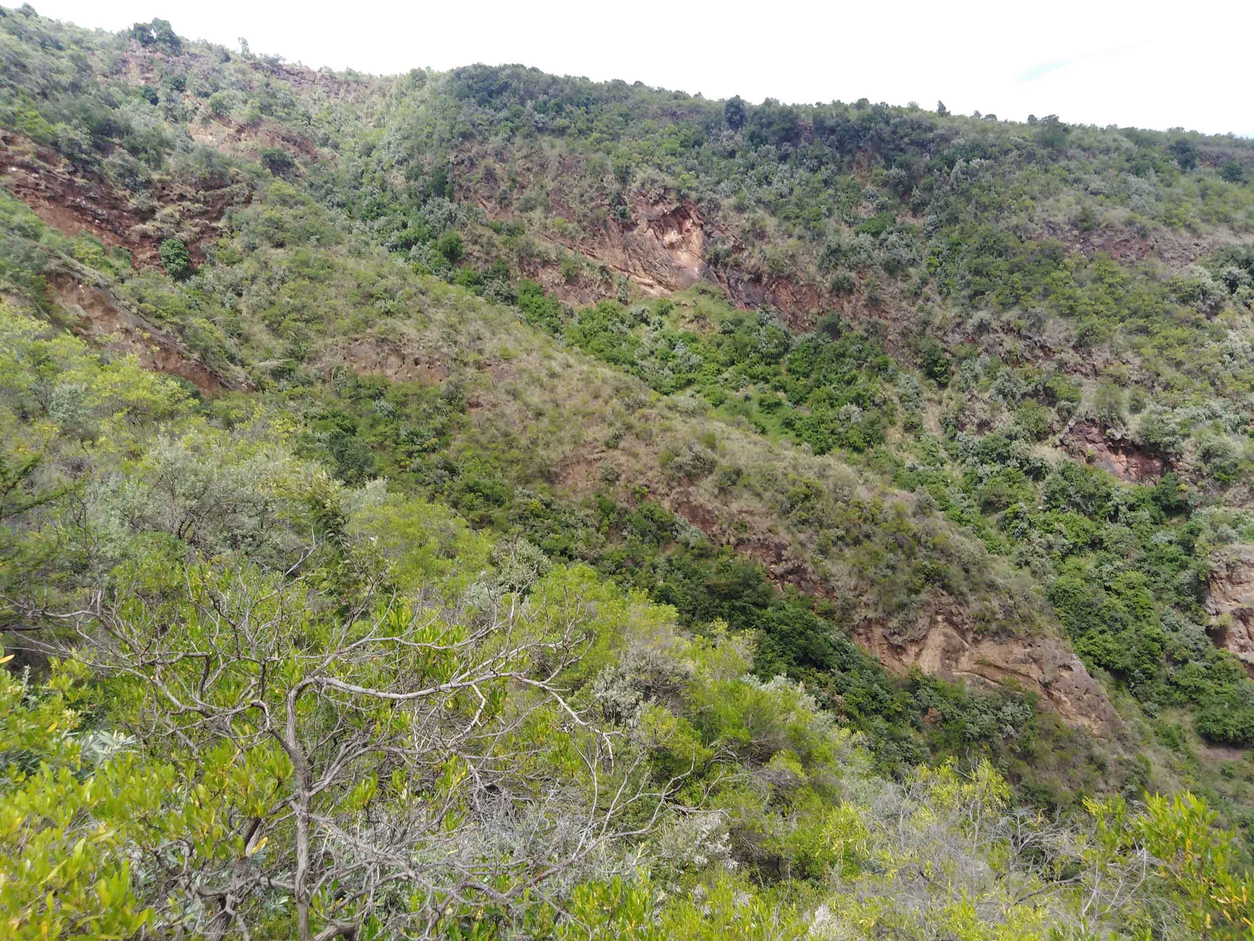
Stretching from the valley floor to the peak of the name-giving Mt. Kiplombe, the conservancy boasts a high ecological diversity worth protecting, including a patch of indigenous rainforest that is connected to Mt. Londiani’s vast forests and other governmental forest reserves further to the West.

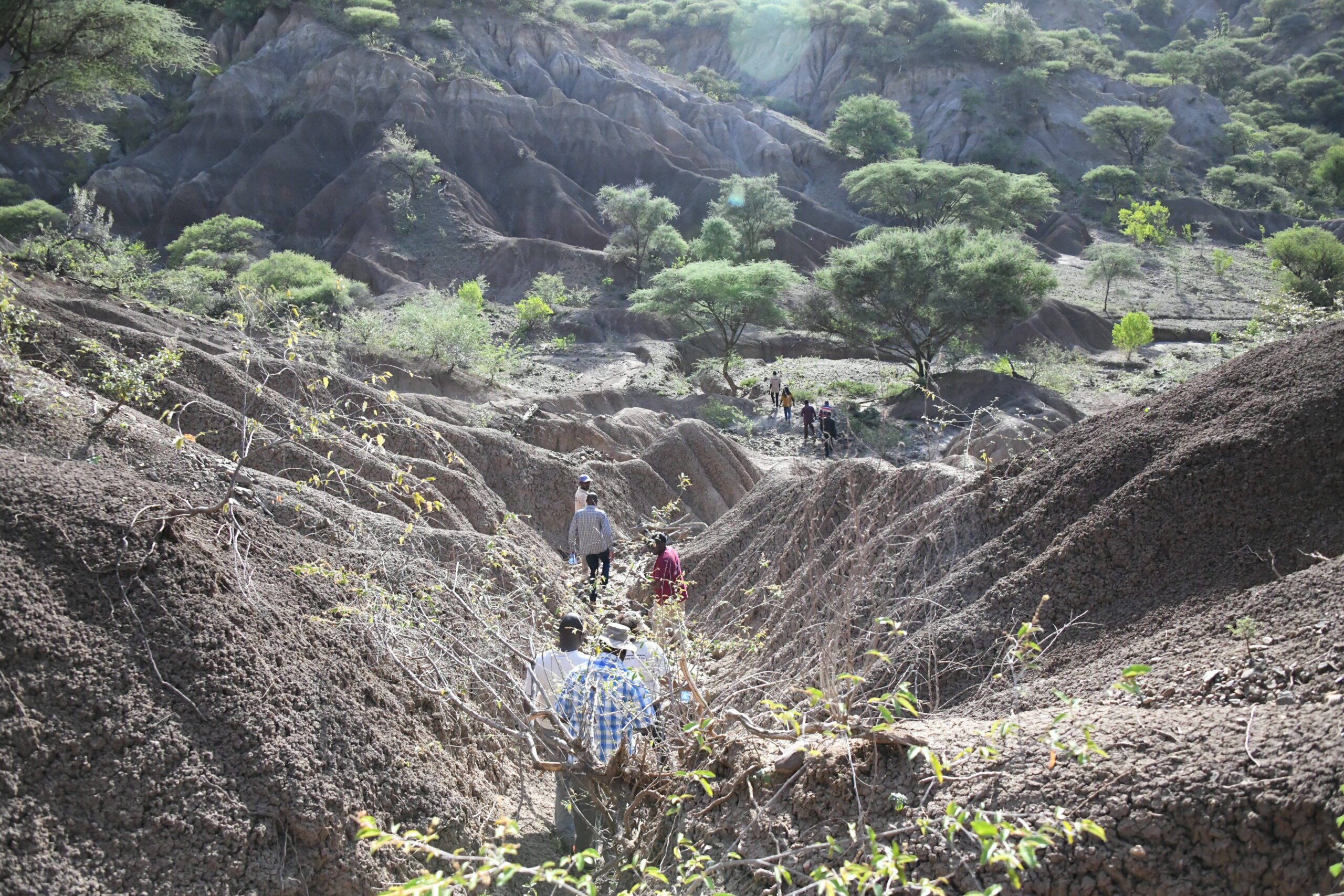
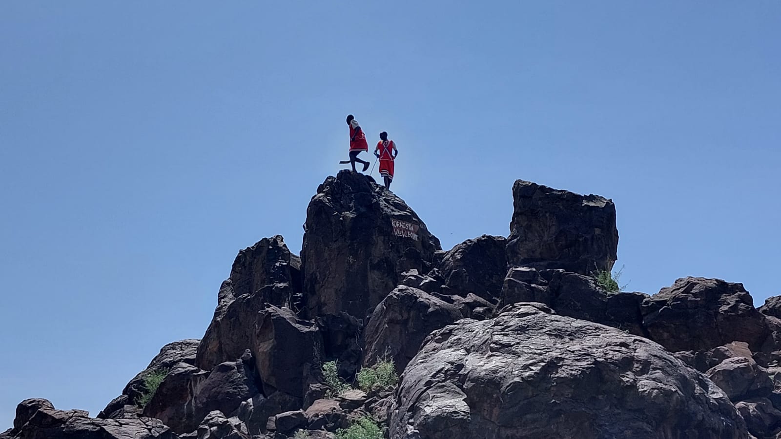
The Conservancy has significant potential for sustainable tourism, such as hiking, biking, or birdwatching, as KCC and its immediate surroundings boast a volcanic caldera with a gorge running from the ancient crater to the plains, forming picturesque landscapes that offer wonderful vistas. The crater is part of a network of Geoparks in Baringo County that stretch to the Rift Valley, while archaeological findings of early man and extinct animal species add to its list of potential attractions and activities for visitors.

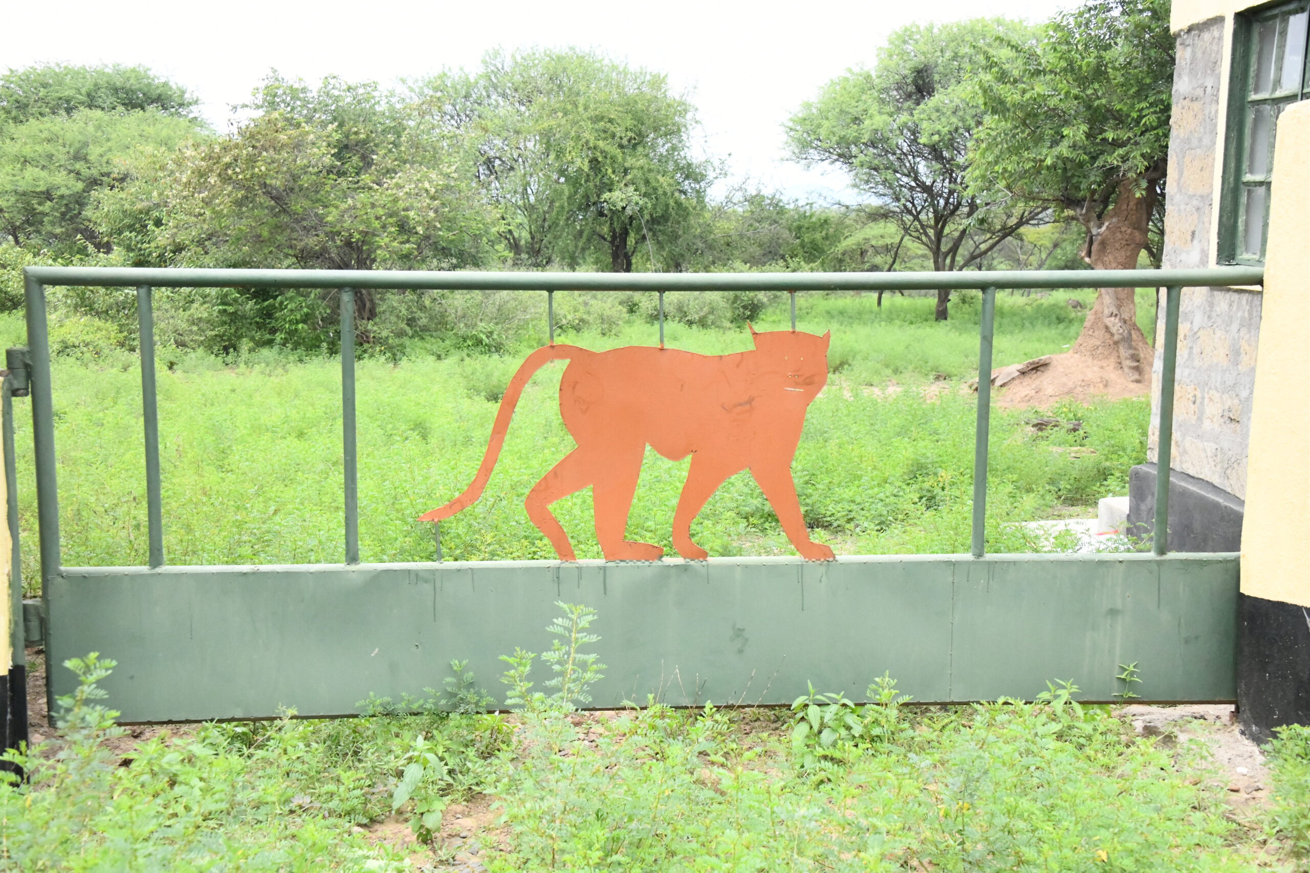
Sightings of big game in the caldera and neighboring forests, such as buffaloes, were frequent as recently as 2014. The conservancy is strategically located and rich with unique natural resources, with a wide and diversified wildlife of fauna and flora, including zebras, baboons, monkeys, striped hyena, rock hyrax, porcupines, warthogs, wild pigs, Waburgia ugandensis, red cedar, Olea Africana, Acacia spp, among other untapped resources.

Several tourist attractions sites include Nandoshoke Cliff, which features the Office “parliament”, Caldera Crater, Eagle Cave-KOWEYEE, Leopard Cave, Waterfall-KILEBEI, Red water-KISARGET/KINAMKET, Diatomite-TARTARIE, Rhino Cave-place where rhinos bathe and lick salt-NGENDA, Fire Tower, Mau Mau cave, Granite-KAPKITONYIK, Presence of fossils, and a designation as the only monument site in Baringo County.

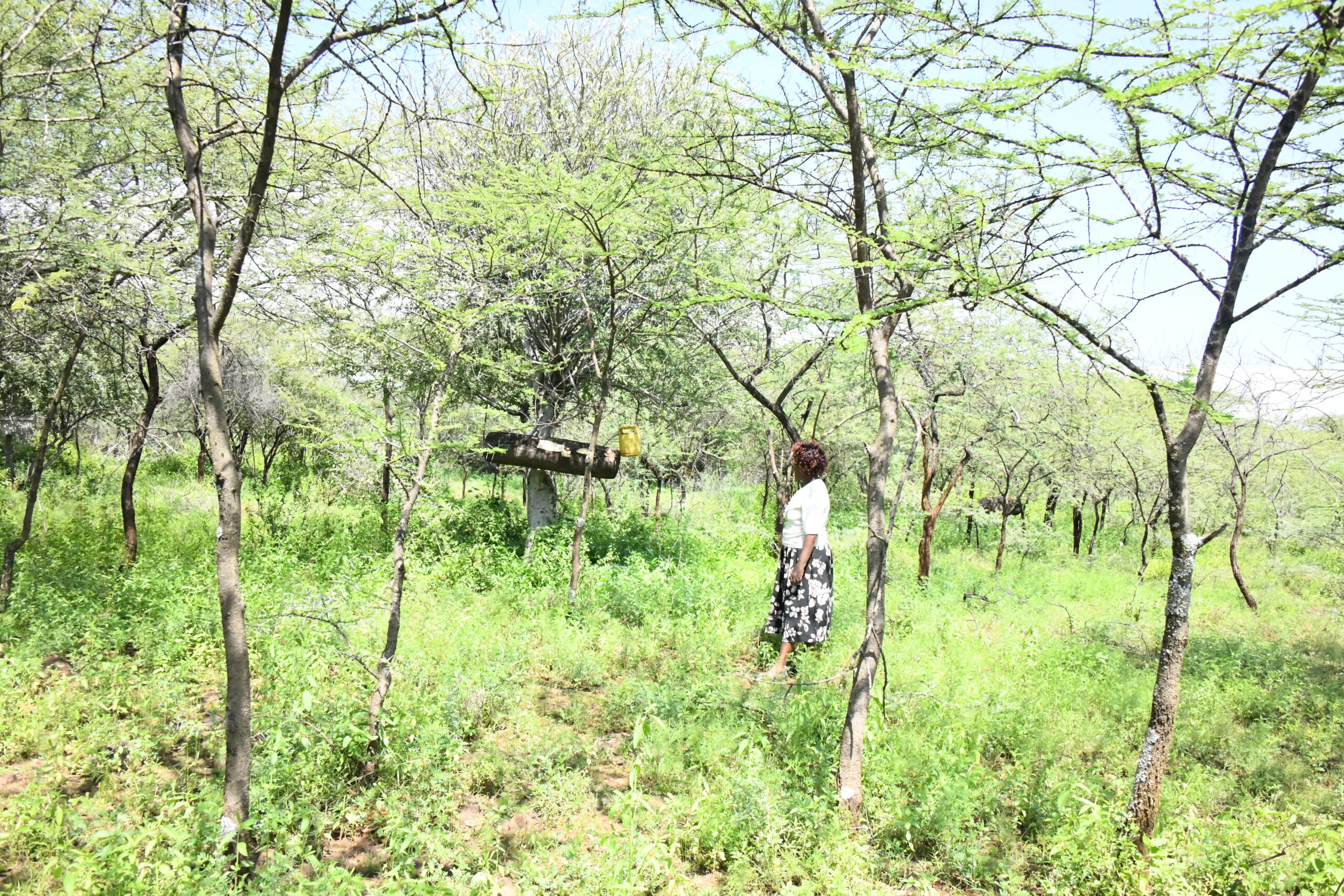
Opportunities in the conservancy include establishing indigenous and medicinal trees, beekeeping, potential campsites, hiking sites, nature trails, bird watching, livestock fattening, tortoise sanctuary, biking, education, and research, as well as opportunities for beadwork and craftsmanship, among others.

The conservancy has received partners like; the Lembus Council of Elders, BCCA, 50 Treasures of Kenya, KWCA, KFS through the provision of tree seedlings and security, and schools.

TOP